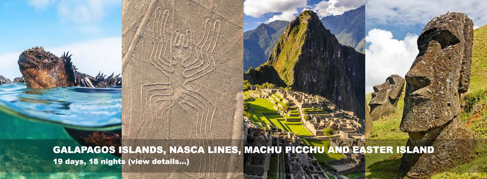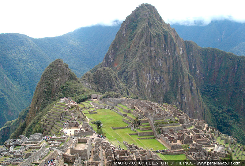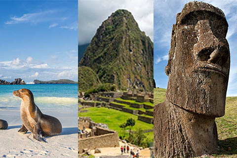
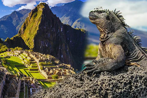
GALAPAGOS ISLANDS (Ecuador), MACHU PICCHU (Peru) AND EASTER ISLAND (Chile)
Galapagos Islands, Baltra, Santa Cruz, Española, Floreana, and San Cristonal islands / Lima, Cusco, Sacred Valley, Machu Picchu / Easter Island
15 Days / 14 Nights - From $9344
See details
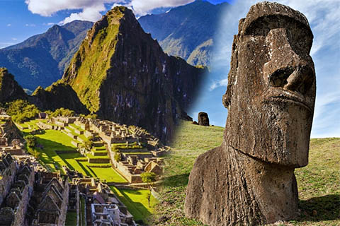
MACHU PICCHU AND EASTER ISLAND
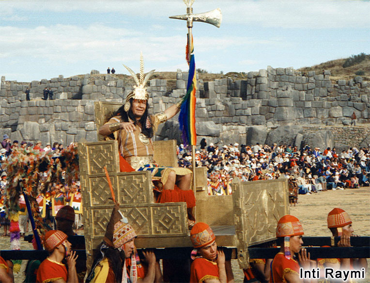
Lima, Cusco (Sacsayhuaman, Puca Pucara, Kenko, Tambomachay), Sacred Valley (Pisac, Ollantaytambo, Chincheros), Machu Picchu 2days 1 night, Santiago de Chile, Easter Island (Vaihu, Akahanga, Tonqariki, Nau Nau, Rano Raraku volcano.
12 Days / 11 Nights - From $5112
See details
MACHU PICCHU AND GALAPAGOS ISLANDS
Lima, Cusco, Sacred Valley (Pisac, Ollantaytambo, Chicheros), Machu Picchu 2d/1n.
Quito; Galapagos Islands 4d/3n, Baltra, Santa Cruz, Española, Floreana, and San Cristonal islands
11 Days / 10 Nights - From $5510
See details
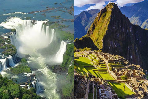
PERU - ARGENTINA TOURS - IGUAZU FALLS
PERU.- Lima (city tour), Cusco (city tour), Sacred Valley (Pisac, Ollantaytambo, Chincheros), Machu Picchu, 2d/1N
ARGENTINA.- Iguazu Falls 3d/2n (side Brazilian and side Argentinian) , Buenos Aires (city tour).
12 Days / 11 Nights - From $4720
See details
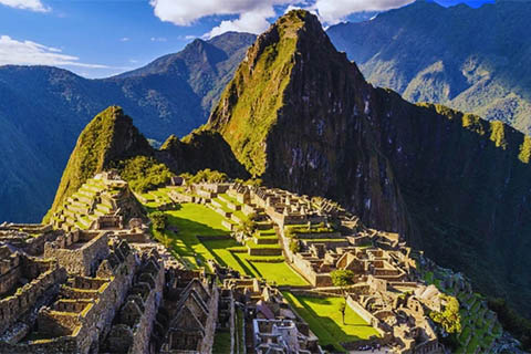
CUSCO AND MACHU PICCHU
Enjoy your visit to Lima (City Tour), Travel to Cusco (City Tour: The Cathedral, Koricancha, Sacsayhuaman, Puca Pucara, Tambomachay), Sacred Valley: Pisac, Ollantaytambo, Chincheros and Machupicchu 2 days / 1 night
7 Days / 6 Nights - From $1352
See details
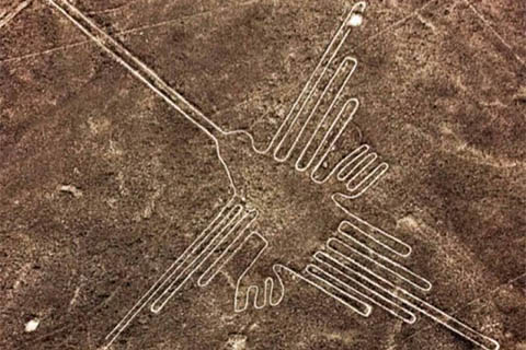
NAZCA LINES, CUSCO AND MACHU PICCHU
Lima and overfly the Nazca Lines (full day) - Cusco (City tour) Sacred Valley, Pisac, Ollantaytambo, Chicheros - Machu Picchu full day - Lima trasnsfer out
6 Days / 5 Nights - From $1764
See details
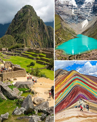
INCAS EMPIRE, NAZCA LINES, COLCA CANYON, MACHU PICCHU, TITICACA LAKE
Lima, Nazca Lines, Arequipa, Colca Canyon, Puno, Uros and Taquile Islands, Pucara, Raqchi, Andahuaylillas, Cusco, Sacred Valley, Machu Picchu
14 Days / 13 Nights - From $3462
See details
MACHU PICCHU AND TITICACA LAKE
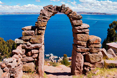
Lima, Cusco, Sacred Valley (Pisac, Ollantaytambo, Chincheros), Machu Picchu, Puno, Titicaca Lake, The uros And Taquile islands
9 Days / 8 Nights - From $1999
See details
THE NORTH AND SOUTH OF PERU
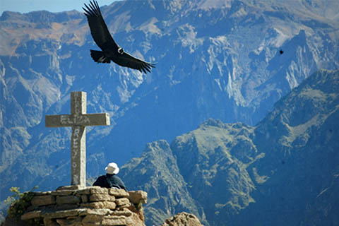
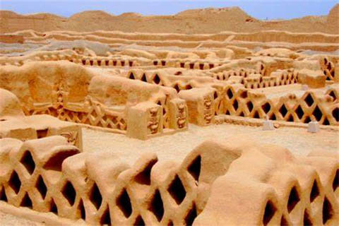
Lima, Arequipa, Colca Canyon, Puno, Titicaca Lake, Cusco, Sacsayhuaman, Puca Pucara, Kenko, Tambomachay, Sacred Valley, Pisac, Ollantaytambo, Chincheros, Machu Picchu, Chiclayo, Lord of Sipan, Trujillo, Chan Chan
16 Days / 15 Nights - From $3858
See details

ENJOY PERU: GASTRONOMY AND TOURIST PLACES - MACHU PICCHU AND HUAYNAPICCHU
Lima, Cusco, Sacred Valley, Pisac, Ollantaytambo, Chincheros, Machu Picchu and Huayna Picchu
8 days / 7 nights
From US$ 2196
See details

PERU ADVENTURE EXTENSIVE
Lima, Puerto Maldonado (Tambopata Lodge 3d/2n), Tambopata, Cusco (City Tour), Inca trail to Machu Picchu 4d/3n (Huayllabamba, Pacamayo, Wiñayhuayna), Puno, Titicaca lake, Uros and Taquile Island - Lima
15 Days / 14 Nights - From $3988
See details
LIMA, AMAZON RIVER AND MACHU PICCHU
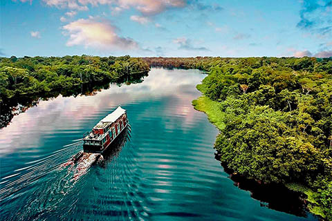
Lima city tour, Iquitos, Amazon river, Canopy Walkway, Explorama lodge, Cusco city tour, Sacsayhuaman, Puca Pucara, Tambomachay, Kenko, Koricancha, Machu Picchu
8 Days / 7 Nights - From $1999
See details